
Ground Penetrating Radar is intended for civil engineers, geologists and geotechnical engineers looking for a more efficient, effective and reliable method of examining subsurface features in the ground. Look no further than Ground Penetrating Radar (GPR), a revolutionary and versatile technology that can collect data with applications across a variety of industries.
This article introduces the basics of GPR and its potential to improve your work. You'll better understand the benefits of GPR and gain insights into how to make the most of your research.
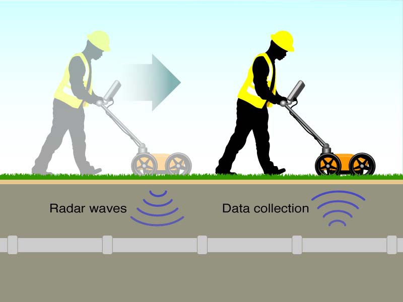
GPR is an electromagnetic wave technology that works by sending a pulse of energy into the ground and analyzing the reflections that return. Energy waves move through different materials at different speeds. By measuring the transit time and amplitude of reflections, ground-based radar can create images of the subsurface.
GPR is non-destructive and relatively fast, making it ideal for applications where traditional methods would be too invasive or time-consuming.
GPR offers a greater depth of penetration than other non-destructive techniques such as infrared thermography, ultrasound or microwaves and can therefore detect defects or damage in concrete at greater depths.

The GPR survey technique involves transmitting electromagnetic energy to the ground and recording its reflections. The amplitude of any reflection is affected by many factors, including the type of material, its depth, and the amount of moisture present. The recorded data is then plotted on a map to create an image that contains information about subsurface features.
The recorded electromagnetic energy can be reflected from man-made objects such as pipes and cables, or from natural objects such as rock, soil, minerals (ore), water and vegetation.
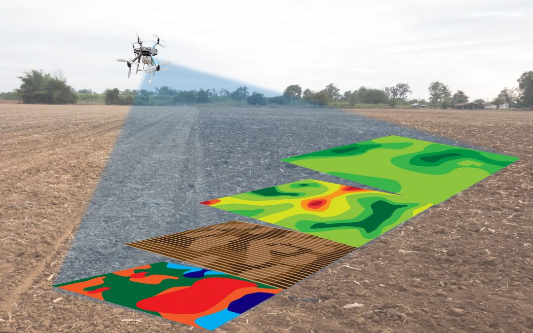
The ground-penetrating radar survey technique is often used in conjunction with other geophysical techniques, such as magnetic, to provide a more complete picture of the subsurface. Ground penetrating radar surveys are widely used for many applications, including geotechnical engineering, environmental monitoring, archeology and construction management. This article presents some examples of typical applications in these areas.
GPR surveys can be used for a variety of purposes, but are particularly useful for mapping underground utilities, locating voids, and detecting changes in soil properties. GPR can also be used to assess the integrity of concrete structures and locate reinforcing bars. In the environmental sector, GPR is used to map landfill caps, locate leaks in protective walls, and isolate buried contaminants.

GPR can help find lost items, buried treasures and construct buildings. In the properties we can determine what material the walls are made of or how the ditches are dug for drainage. We can examine tumors in our bodies and drug coatings and pill materials. Next: Due to these advantages, ground penetrating radar is used in many fields including archaeology, civil engineering, civil engineering, soil analysis, etc.
There are a few things you should keep in mind when conducting a GPR investigation. First, waves are reflection-free if they hit an object perpendicular to their propagation path. For this reason, it is important to ensure that the examination area is large enough to allow the waves to hit objects at different angles. Second, GPR surveys are typically performed in straight lines. This is because data is collected in two dimensions. If the study area is very large, interpretation of the data may be difficult. Finally, GPR surveys are most effective when the ground is dry. Therefore, it is important to avoid humid conditions if possible.


1comment
Buen día. Si me podrían ayudar con una cotización y la ficha técnica, del radar de penetración terrestre